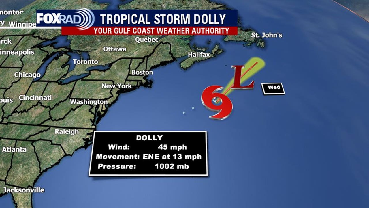
Tropical Storm Dolly has weakened into an open tropical wave in the Atlantic after forming just days earlier as the fourth named storm of the 2026 season. According to the National Hurricane Center, the system is moving westward toward the Leeward Islands, bringing potential heavy rain and gusty winds to the region.
Tropical Storm Dolly’s brief run across the Atlantic ended as quickly as it began. The National Hurricane Center confirmed the downgrade in its 8 p.m. advisory on Friday, noting the remnants were located several hundred miles east of the Leeward Islands, as reported by WPBF.
El Niño Drives Hostile Environment and Quiet Atlantic Season
The swift dissolution of Dolly highlights a broader trend defining the current hurricane season. Meteorologist and climate scientist Rob Shackelford reported that the storm was effectively ripped open by an increasingly hostile environment enhanced by El Niño
. Dry air, sinking air currents, and intense wind shear have battered multiple tropical systems in recent weeks, causing them to fall apart before gaining real strength.
This hostile atmospheric cocktail has resulted in the quietest start to an Atlantic hurricane season in nearly 40 years. Data from NOAA and the National Hurricane Center show that the season has recorded only three short-lived tropical storms and zero hurricanes thus far. As for the storm’s moniker, weather officials clarified that the timing was purely coincidental,
noting that the name Dolly has been on a rotating list since 1996 and was used prior to the 1990s.
Rain and Wind Risks Ahead for the Leeward Islands and Puerto Rico
Even without its tropical storm status, the remaining moisture poses immediate weather risks to the Caribbean. The National Hurricane Center stated that the wave could bring locally heavy rains and gusty winds to portions of the Leeward Islands, the Virgin Islands, and Puerto Rico over the coming days. The system is expected to arrive over the Leeward Islands Saturday night or Sunday.

While the incoming downpours offer a welcome relief to extreme drought conditions in Puerto Rico and the Virgin Islands, forecasters warn that they could simultaneously trigger flash flooding, particularly across hilly or mountainous terrain. The remnants are expected to continue tracking west-northwestward into the Bahamas next week, bringing additional showers and storms to the area.
Potential Redevelopment Track and Next Week’s Forecast
Computer models leave a narrow window open for the system to regenerate. While formation chances through the next 48 hours sit near zero and stand at just 10 percent over the next seven days, some forecasting models suggest the wave could find a slightly more favorable atmospheric environment near the Bahamas or the Bermuda Triangle later next week.

For now, meteorologists emphasize that it remains far too early to predict whether regeneration will occur, where a reformed system might track, or how strong it could become. In a separate monitoring area across the northeastern and north-central Gulf of Mexico, a weak area of low pressure is producing disorganized cloudiness and showers. The National Hurricane Center notes that development, if any, is expected to be slow while that system remains nearly stationary over the next several days.
Продолжение темы

