
South Africa faces widespread severe weather as a cut-off low-pressure system brings heavy rain, damaging winds, and severe thunderstorms across multiple provinces on Monday, September 14, 2026. The South African Weather Service issued multiple impact-based warnings, including a Yellow Level 4 alert for disruptive rainfall.
A powerful cut-off low-pressure system is sweeping across South Africa, delivering severe weather conditions that include heavy downpours, rough seas, and damaging winds. According to the South African Weather Service, the atmospheric system began affecting the Western Cape and Northern Cape before advancing eastward.
Yellow Level 4 Disruptive Rain Warnings in Western and Northern Cape
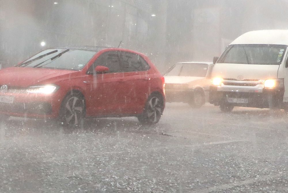
The most serious alert is a Yellow Level 4 warning for disruptive rain issued by the South African Weather Service. This severe warning covers eastern Namakwa in the Northern Cape and the Central Karoo District of the Western Cape. Forecasters warn that the persistent downpours could lead to flooding of roads and settlements alongside major disruptions to traffic flow.
Weather data shows an 80% chance of rain and thunderstorms stretching across a broad zone from parts of the Western Cape into the Northern Cape. A 60% chance of showers extends across other parts of the Northern Cape and into the central interior. Meanwhile, the Eastern Cape and KwaZulu-Natal face a 30% chance of rain, while isolated showers are expected over parts of Limpopo and Mpumalanga.
Damaging Winds and Rough Seas Batter Coastal and Interior Regions
Strong winds are compounding weather hazards across the country. A Yellow Level 2 warning for damaging winds covers a vast stretch of the interior, including parts of the Northern Cape, North West, Free State, and Limpopo, where authorities warn of localized damage to formal and informal settlements.
Along the coastline, maritime conditions have deteriorated significantly. Very rough seas featuring wave heights reaching 4.0 to 4.5 meters are expected south of Table Bay. Additional coastal warnings include a Yellow Level 2 alert between Port Edward and Richards Bay, warning of potential disruptions to small harbours, ports, and beachfront activities, alongside navigation difficulties for small vessels.
Severe Thunderstorms and Public Safety Guidance
Yellow Level 2 warnings for severe thunderstorms are in effect for the Nama Khoi and Kamiesberg municipalities in the Northern Cape, as well as the West Coast, Cape Winelands, Overberg districts, and the City of Cape Town in the Western Cape. These storms bring risks of excessive lightning, localized flooding in low-lying areas, and power interruptions.

The South African Weather Service has noted that damaging winds and waves can result in the localized disruption of small harbours and ports, as well as difficulties in navigation.
Forecasters advise the public and small stock farmers to prepare for intermittent showers, heavy downpours, potential small hail, and a significant temperature drop over high-lying areas. The exact location and intensity of severe thunderstorms will depend on the evolution of the atmospheric system, and the public is encouraged to remain updated with the latest forecasts and warnings,
weather service representatives emphasized as the system continues its progression.
Ещё по этой теме

