
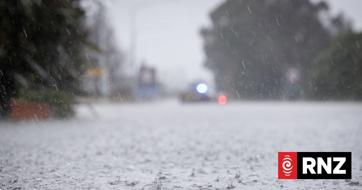
A significant winter storm is heading toward New Zealand’s South Island, bringing forecasts of prolonged heavy rain and heavy snow as the week progresses, according to MetService. The slow-moving complex low and frontal system is expected to spread onto the South Island from the Tasman Sea, directing a large amount of moisture toward the region. While the North Island anticipates notably warmer temperatures driven by warm northwesterly winds, the South Island is preparing for widespread severe weather.
South Island Braces for Significant Winter Storm
Heavy Snow and Rain Forecast for Alpine Passes and Inland Areas
Meteorologists warn that heavy snow could impact travel significantly across parts of the South Island, particularly in inland Otago, South Canterbury, and the West Coast. Private forecasting cited by NZ Transport Agency Waka Kotahi indicates that more than 30cm of snow could affect State Highways 8 and 80 in the Mackenzie Basin, while up to 20cm could fall on State Highway 73 above 700 metres. A cooler southerly airmass following late Wednesday and Thursday could bring warning amounts of snow down to 400 metres in inland parts of South Canterbury and Otago. Meanwhile, a heavy rain watch is in place for the Westland ranges of the Westland District and is expected to be upgraded to a warning.
Milford Road Avalanche Closures and Travel Disruptions
State Highway 94 between Milford Sound and Te Anau reopened following an overnight snow closure, but additional closures lie ahead due to an increasing avalanche risk. Milford Road Alliance manager Kevin Thomson noted that Milford Sound experiences some of the largest avalanches in the world, with a typical season seeing between 200 and 400 avalanches above and around the road. Crews manage this risk using passive controls alongside active measures such as full road closures and explosives. The key tourist route was scheduled to close at 4.30pm at Lower Hollyford Road, with reopening expected by about 9am the following day. All-day closures remain possible on Wednesday and Thursday when snow to road level is forecast.
Transport Agency Advisories and Safety Precautions
NZ Transport Agency Waka Kotahi stated that Accumulations at this level are likely to impede travel and NZTA may close sections of highway or introduce restrictions to keep people safe and avoid vehicles becoming trapped.
Roading crews are scheduled to work around the clock to clear snow and other obstructions. Motorists planning to travel via alpine passes and inland routes are urged to monitor weather forecasts and check NZTA’s journey planner site.

Authorities recommend several safety measures for winter driving conditions:
- Reduce speeds and increase following distances when traction is affected by snow, ice, or heavy rain.
- Avoid sudden braking or turning movements and stay as visible as possible.
- Carry warm clothing, food, and water in case of travel delays or detours.
MetService meteorologist Devlin Lynden advised anyone planning travel or outdoor activities in western and central areas later in the week to keep up to date with the latest forecasts, watches, and warnings on the official forecaster website.
Продолжение темы
